This article is brought to you by the Food and Agriculture Organization of the United Nations (FAO).
By Julian Fox and Anssi Pekkarinen, senior forestry officers, FAO
From hoovering kitchens and driving cars to reading and writing, artificial intelligence (AI) and machine learning are increasingly being used to save humans time. But can this kind of technological innovation help us save the planet?
Today, a major challenge the world faces is how to halt deforestation and ensure our forests are restored and used sustainably. We know what a difference this would make in the battle against climate change and in improving livelihoods of local people. But despite huge efforts worldwide, we have not yet managed to make it happen.
The problem is the scale of the task. Since 1990, over 420 million hectares of forest have been lost to deforestation and converted into other land uses, such as farmland, mines or infrastructure. Deforestation rates have slowed, but we are still losing 10 million hectares every year. How do we get this figure down to zero by 2030, as world leaders have pledged to do? And how do we restore 1 billion hectares of degraded land and forest which leaders have also pledged to do?
The answer is we need to know much more about what is happening in real time on the ground, to every forest, and in some cases to every tree. Only then can we take far more effective action, everywhere, quickly enough.
This, as we mark today’s World Day of Creativity and Innovation (21 April), is where AI comes in.
For a long time, active monitoring of remote and inaccessible forest areas has been difficult, providing windows of opportunity for illegal activities that have resulted in deforestation and degradation. But the window of time in which illegal activity can go undetected is rapidly shrinking, thanks to rapidly evolving satellite image technology and creative use of AI and machine learning to ‘read’ images and turn them into information.
For example, we now have high spatial and temporal resolution satellite imagery from Norway’s International Climate and Forests Initiative, and algorithms that can interpret images within hours.
This means that forestry officials can receive an alert through the Food and Agriculture Organization of the United Nations (FAO) SEPAL cloud computing program within two days of something unusual happening in their forests. Previously, it took two or three months.
The result is a shift from finding out too late to finding out fast enough to intervene. The impact on efforts to tackle illegal activity in forests worldwide should be noticeable as countries start to use this technology in coming years.
In some parts of the world, such as the dry Sahel region of Africa, it is individual trees, rather than forests, that matter. They are treasured by local communities for the benefits they provide, but they are under threat due to climate change, conflict and other factors.
It is simply not logistically feasible for people on the ground to make regular checks on each lone tree across this vast region. But from the sky and in the ether, we can now do this.
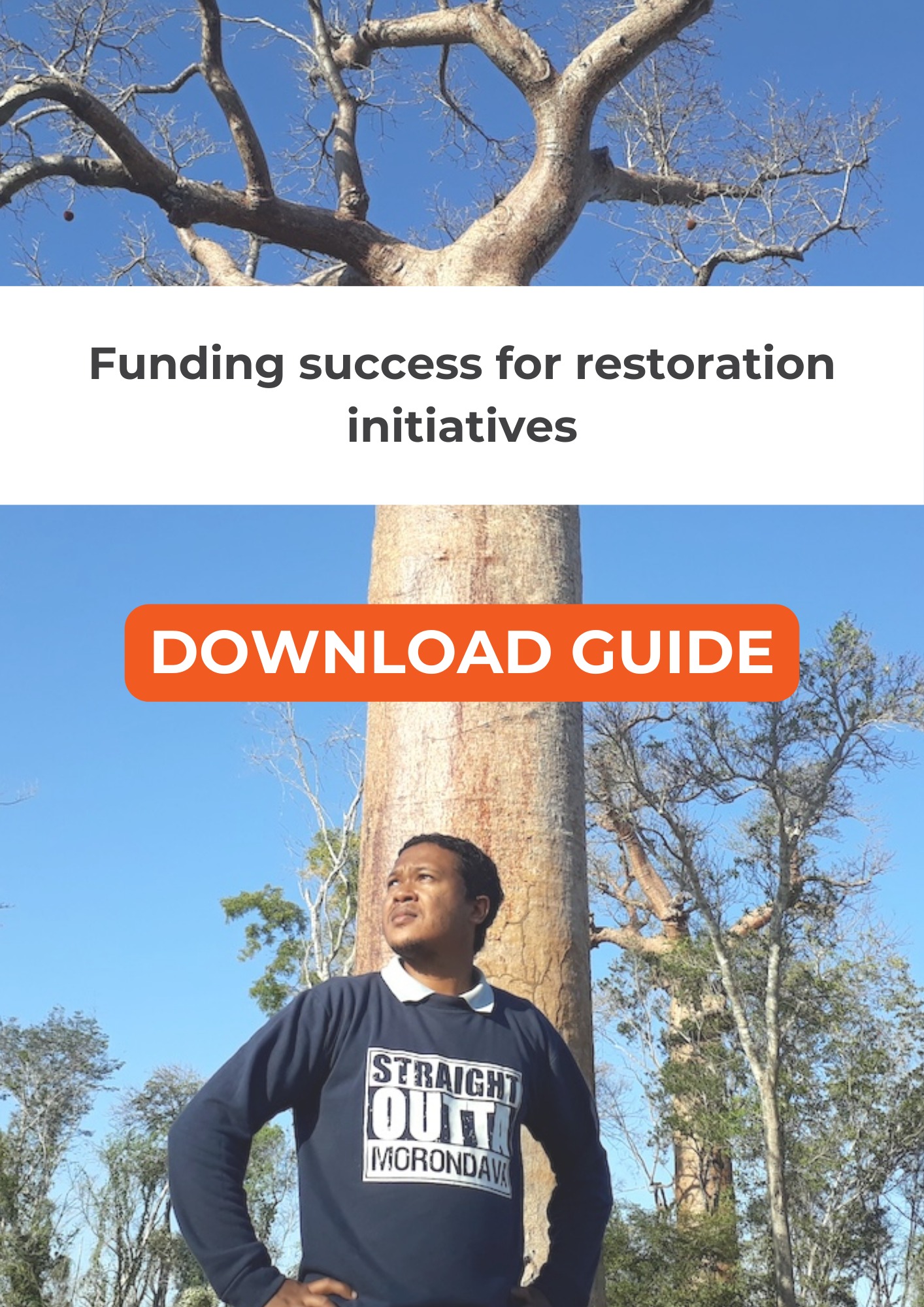
For example, FAO and partners have been mapping the region’s baobab trees, which are particularly prized for their nutritious fruit. Satellite images are now available in high enough resolution to show individual trees and monitor their growth.
Drones can provide images over a small area in such detail that the species can be identified. Then, the phenology (seasonal greening and senescing pattern) of a particular species can be used to ‘train’ AI and machine learning to find and monitor that species across a wider area.
By combining these different types of technology, FAO has developed a system that should ultimately provide communities and governments across 14 countries with the information they need to restore and better protect every single baobab.
At the same time, local experts can feed information back into the system to improve existing data or provide new information to ’train’ the AI to look for specific things they want to know, such as predicting productivity or warning when a tree is not developing leaf buds as it should.
Furthermore, the Forest Data Partnership – a USAID-funded collaboration between FAO, the World Resources Institute, Google, NASA and Unilever – is using AI and machine learning to harmonize incompatible data.
Over the next five years, it will develop a scientifically robust and transparent global system for checking the deforestation footprint of any bag of coffee or bar of chocolate being traded around the world.
Having the right information and being able to share it globally is crucial for everyone to be able to make the right choices in our everyday lives – and AI can be the game changer we need to make that possible.
Finally…
…thank you for reading this story. Our mission is to make them freely accessible to everyone, no matter where they are.
We believe that lasting and impactful change starts with changing the way people think. That’s why we amplify the diverse voices the world needs to hear – from local restoration leaders to Indigenous communities and women who lead the way.
By supporting us, not only are you supporting the world’s largest knowledge-led platform devoted to sustainable and inclusive landscapes, but you’re also becoming a vital part of a global movement that’s working tirelessly to create a healthier world for us all.
Every donation counts – no matter the amount. Thank you for being a part of our mission.